Cyclone Olwyn, Cyclone Nathan: the latest information
AAP
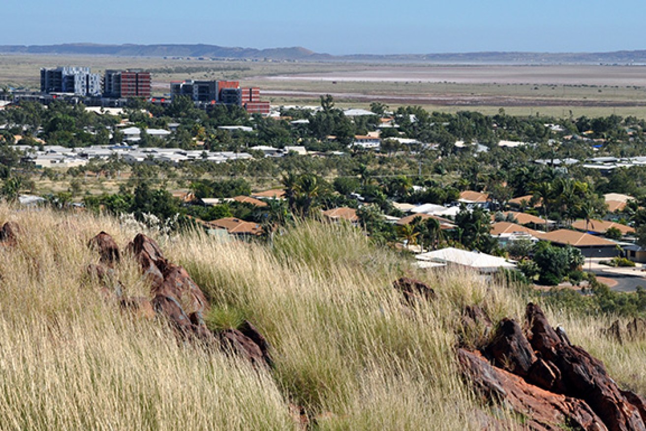
A cyclone headed for Western Australia’s north is expected to intensify as it tracks towards the west Pilbara coast.
The Bureau of Meteorology says Cyclone Olwyn, currently a category two storm, is forecast to reach category three as it moves towards the West Australian coast.
• Cyclone Pam moves through Pacific Ocean
• Cyclone Lam repairs to cost more than $100 million
At 3am (WST), BoM said the cyclone was estimated to be 370km north northwest of Karratha and 505km north northeast of Exmouth.
It’s moving south southwest at 13km/h, BoM said.
“Tropical Cyclone Olwyn continues to intensify as it moves towards the west Pilbara coast. Olwyn will be near the west Pilbara coast early on Friday morning with landfall expected between Exmouth and Mardie,” BoM said in a statement.
There is the possibility that Olwyn intensifies to a severe tropical cyclone before landfall.
“The system will weaken as it continues to move towards the south, taking heavy rain and squally winds into southern parts of Western Australia.”
A warning has been issued for coastal areas from Whim Creek to Cape Cuvier, and a weather watch is in place from Cape Cuvier to Kalbarri.
The bureau says gales with gusts to 100km/h are expected to develop between Karratha and Exmouth during Thursday afternoon.
TROPICAL CYCLONE FORECAST TRACK MAP 8 Issued at 2.54 pm (Tropical Cyclome Olwyn). http://t.co/v5oXXi5ugX pic.twitter.com/CalSbxo86t
— John Relf (@jr_the_ferret) March 11, 2015
Very destructive winds with gusts to 170km/h could develop near the west Pilbara coast early Friday morning.
The BoM is also warning Residents between Mardie and Exmouth of the potential of a dangerous storm tide as the cyclone centre crosses the coast.
Heavy rainfall is likely to develop over the western Pilbara and northern Gascoyne from Thursday before easing on Saturday.
Cyclone Nathan
Cyclone Nathan continues to head towards the far north Queensland coast, but is forecast to track back out to sea.
At 5am AEST on Thursday, Cyclone Nathan was about 105km north northeast of Lizard Island and 195km north northeast of Cooktown.
The Qld coast continues to be battered by poor weather despite the cyclone’s expected U-turn.
The category two cyclone was headed towards the coast at about 5km/h, with wind gusts up to 130km/h, BoM said.
“Cyclone Nathan is continuing to move slowly southwest towards the coast near Cape Flattery,” BoM said on Thursday.
“It is expected to slow this movement during today and ultimately change direction to the east-northeast away from the coast over the next 24 hours.”
A warning has been issued for coastal areas from Coen to Port Douglas, and a weather watch is in place from Lockhart River to Coen.
BoM says gales could develop about coastal and island areas between Coen and Port Douglas, and that very destructive winds could affect coastal and island areas between Cape Flattery and Cape Melville.
Areas of heavy rain, which could lead to flash flooding, are expected across parts of the North Tropical Coast and Tablelands and Peninsula districts throughout Thursday.
It’s also warning that abnormally high tides could develop in coastal areas between Coen and Cape Tribulation during Thursday.
