Evacuations, truck roof rescue and another cyclone looming
Just as north Queensland's recovery gathers momentum, the threat of another cyclone looms. Photo: AAP
A remote Northern Territory community could be inundated for a week after days of heavy rain as another tropical cyclone building in the Coral Sea has Queensland in its sights.
As far north Queensland braces for the possibility of further devastation, flooding has hit Australia’s Top End, with motorists stranded and about 100 people evacuated.
There was a report on Thursday night of a helicopter pilot rescuing three people from a truck roof and taking them to Victoria River Roadhouse, west of Katherine.
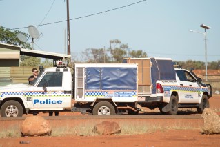
Some Pigeon Hole homes were inundated, with police predicting the community would be flooded for up to a week.
About 35 Pigeon Hole residents were expected to be transported to Darwin with another five medically vulnerable people sent to Katherine.
“We want them to be safe and comfortable,” Acting Assistant Commissioner for Northern Territory Police Matt Hollamby said.
Tweet from @BOM_au
Authorities are also on standby at Daly River where flood levels were being monitored.
A monsoon trough continues to produce heavy rain in the NT, with 690 millimetres in seven days at Wadeye, south of Darwin.
Roads are closed along the Victoria River between Katherine and the Western Australia border while the Buntine Highway has also been cut.
Police said some motorists had been stranded.
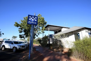
“We are aware of a truck that was inundated overnight on the Victoria highway,” Hollamby said.
“Please do not drive in flooded areas – just stay at home.”
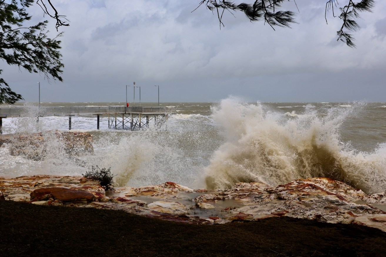
The big wet also continues in far north Queensland.
Seven-day rain totals up to Thursday included 704 millimetres at Stewart Creek Valley and 632millimetres at Daintree Village, in one of the regions hit hardest by record flooding caused by Cyclone Jasper in December.
There are flood warnings for four rivers in the far north.
More heavy showers are expected with a tropical low in the Coral Sea set to move back toward the Queensland coast, likely becoming a tropical cyclone by Monday.
It could strengthen to a category three system or higher, making a “severe impact” on the coast from Tuesday, the Bureau of Meteorology warned.
“The earliest possible [impact] is in the latter part of Tuesday but that’s not particularly likely,” a spokesperson said.
“We’re looking beyond that to get a better idea of when it might actually affect the Queensland coast.”
Queensland Premier Steven Miles said on Thursday models suggested more detail would come to light at the weekend.
In Western Australia, ongoing power outages were affecting the Wheatbelt, Goldfields and Great Southern regions – including most homes and businesses in Kalgoorlie – following recent storm damage, police said.
Some mobile phone coverage was also affected.
“Major hospitals are operational, and police and emergency services are upping patrols,” police said in a statement late on Thursday.
-AAP