NSW floods force evacuations, waters set to rise in SA
The levee at Virginia failed on Saturday morning. Photo: ABC
Families in parts of flood-hit regional NSW have been told to leave their homes.
The State Emergency Service has issued flood evacuation orders for Edward Street, in West Wagga Wagga, as well as several streets in Condobolin.
Both sets of orders instructed residents to leave by Sunday morning and to take enough spare clothing, medicines and personal hygiene supplies to last for a week.

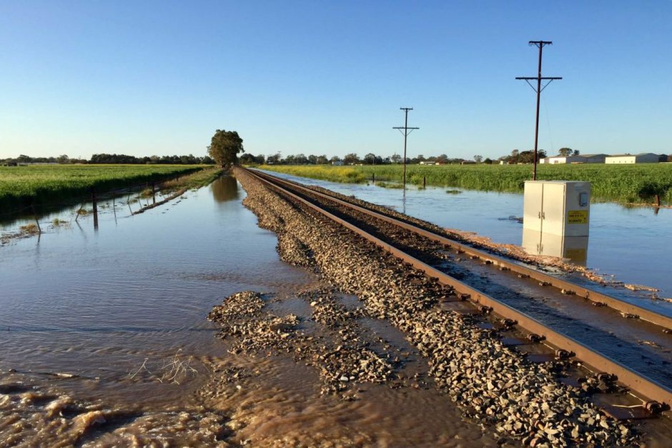
Flooding at Angle Vale Road at Virginia. Photo: ABC
The Bureau of Meteorology is expecting the Lachlan River at Condobolin to peak near 7.2 metres on Wednesday.
The flooding disaster that has been unfolding across the state’s central west since the end of August is estimated to have caused tens of millions of dollars worth of damage and wiped out unknown hectares of crops.
Further flooding possible in SA
ABC reports that residents in the South Australian towns of Virginia, Lewiston and Port Wakefield had a brief reprieve from the rain overnight but they have been warned further flooding is possible later this afternoon.
Sandbagging continued through the night after 60,000 sandbags were flown into the Edinburgh RAAF base on Saturday afternoon.
The SES said flooding had stabilised since Saturday afternoon but staff were still working on the ground through the night to protect homes.
Premier Jay Weatherill said on Saturday the major flood threat was around Virginia, while a flood watch and act remains in place for Port Wakefield.
Weather conditions in the area eased slightly overnight, but more rain is on the way, which may cause further flooding.
“There may be the chance that we see the rivers systems in the hills and the catchments in the foothills in Adelaide rise again,” Chris Beattie from the SES said on Saturday.
“So as we move into Sunday we expect to see a front to arrive in the mid afternoon, and it will produce some falls in a range of 10 to 20 millimetres on higher ground,” Mr Nairn said on Saturday.
He said “more significant rain” of up to 60 millimetres in the Mount Lofty Ranges, and about 20 to 30 millimetres north of the Gawler River catchment was expected on Monday.
Between Sunday and Tuesday the Adelaide Hills could receive up to 100 millimetres on already saturated ground, he said.
Senior forecaster at the Bureau of Meteorology John Nairn said people could expect the rain to start up again from this afternoon.