Blizzard conditions forecast to continue: BoM
AAP
A vicious cold front which has brought icy damaging winds, torrential rain and heavy snow to large parts of south eastern Australia while Tasmania enjoys “relatively mild” winter temperatures.
And if the cold, rain and snow are not your favourite types of weather, the Bureau of Meteorology has bad news – there are days of it still to come.
Late on Sunday, Melbourne and large parts of eastern Victoria were being warned of flooding, while in New South Wales the bureau had issued warnings for strong winds, low temperatures and lashing rain.
• Volcano eruption still halting flights to Bali
• Government steps up war on wind farms
• The real reason Turnbull won’t be on Q&A
Snow falls in NSW
The so-called Antarctic blast has created a winter wonderland in parts of New South Wales, with good snow falls recorded in the Alpine region and a light dusting in the Central Tablelands.
However, what is shaping up to be a boon for ski resorts was creating havoc on the roads as the school holidays end, with two highways closed on Sunday morning.
Meteorologists from the Bureau of Meteorology (BoM) said the low-pressure system, which was bringing the cold front and snow, was expected to last for most of the week ahead.

A steady blanket of snow hits Perisher in the NSW ski fields early on Sunday.
“Later in the week there is another upper-level trough moving through and there will be very cold air with that,” BoM senior forecaster Neil Fraser said.
“So the snow will continue right through most of the week, if not all the week.”
Victoria shivers
Victorians could expect blizzard conditions, with strong winds, heavy rain and snowfall in the next 24 hours, the BoM warned.
“We had a fair bit [of rain] yesterday, it’s still rainy in the west and we’ll see another band come across the east of the state,” senior forecaster Phil King said.
He said a gale-force wind warning was current for Victoria’s west coast and East Gippsland coast.
“As the low-pressure system develops and intensifies east of Gabo Island … we’ll see the winds pick up, heavy rain through Gippsland, further snowfalls in alpine areas and strong to gale force winds,” he said.

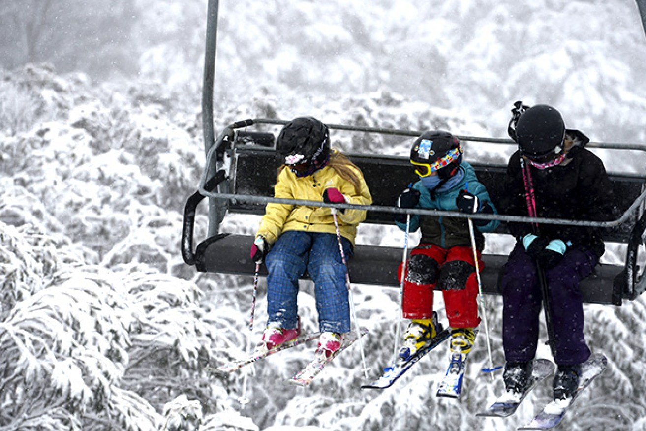
Skier on a chairlift at Fall Screek. Photo: AAP
Mr King said while the cold snap was Victoria’s chilliest since the start of June, it was not unusual for this time of year.
“The system that we’re seeing crossing the state is a severe system, it’s brought cold conditions, snow down to low levels around 800 metres, we had snow at Mt Macedon in the Grampians,” he said.
“We get these kind of systems three or four times a year, it’s a system that brings much-welcome rain and snowfall to Victoria during the winter period.
“They’re important part of our climate and they’re not that unusual, but they are severe.”
Snowfall has also been recorded in the western outskirts of Australian Capital Territory on Sunday, with Corin Forest reporting five centimetres of snow overnight.
Roads around the area in the Tidbinbilla Range have opened, but only for four-wheel drives or cars equipped with snow chains.
A dusting of snow could clearly be seen in the Brindabellas.
Stormy weather damages roofs, homes

Cold snap: Australia braces for more stormy weather.
In Adelaide, gale-force winds brought down trees and powerlines overnight in the wake of Saturday’s cold snap that saw snow fall in parts of the Adelaide Hills and the state’s mid-north.
SA’s highest recorded gust in the wake of the strong cold front that crossed the state was 98 kilometres per hour at Hindmarsh Island, with other gusts of about 70 kilometres per hour during the night.
The stormy weather also caused damage to roofs and homes, and the State Emergency Service has had about 60 callouts over the weekend.

Making the most of a good thing – a skier at Thredbo.
BoM’s South Australian duty forecaster, Paul Bierman, said while no more snow was likely, conditions would stay cold for the next few days.
“We stay in a south-westerly airstream for the next few days and it’s drawing a lot of air from very far south of the continent,” he said.
“For Adelaide, we’re seeing maximum temperatures of around 13 or 14 degrees Celsius every day for the next seven days.”
Mr Bierman said rainfall totals to late on Sunday had been in the range of five to 15 millimetres in the Mount Lofty Ranges.
Australia’s most southern state has, however, largely escaped the weather pattern affecting other eastern states and is enjoying relatively mild winter temperatures.
Burnie in north-west Tasmania is heading for a top of 16 degrees, while the capital will reach 13 degrees.
Cold snaps earlier this winter have left higher parts of the island blanketed in snow, where it remains in some places.
While the mercury has plummeted at night leaving frosty mornings, recent days have been chilly and wet in parts but not freezing.
– with ABC