Google, Apple maps can get us lost when we need them most
What's happening when your mapping app goes bad? Photo: ABC News
Got your hat, sunglasses and sunscreen? One thing you won’t need to remember on your next trip is a map – and that’s thanks to satellites, smartphones and mapping apps.
Gone are the days of relying on unwieldy printed maps and ragged street directories.
We’ve moved on so completely, that Geoscience Australia is about to stop printing paper maps because people are no longer buying them.
Instead we rely on Google Maps or Apple Maps on our smartphone, or sat-nav systems – and they are absolutely brilliant at getting us where we need to go.
Except when they’re not.

No need to fight over asking for directions any more. Photo: Getty
Satellites and mobile networks
Mapping apps rely on two separate things to work – knowing your location and having a map of the area you’re in.
Your location comes from satellites.
“Your phone has a GPS chip or piece of electronics inside it that records the signals that are coming down from the GPS satellites, and from that it can calculate your position,” says geophysicist Paul Tregoning from the Australian National University.
The map of where you are, on the other hand, comes with your app.
Typically this map is updated live via the mobile network or wi-fi as you move along.
“So your phone is calculating your position directly from the satellites and then the app on your phone is taking that position and overlaying it onto a map to show you where you are,” Dr Tregoning said.
Both of these aspects can affect how well the app works and explain why, ironically, it can be less reliable in a big built-up city than in Australia’s outback.
What’s happening when things go wrong?
There can be one of two errors when your mapping app doesn’t work correctly, says Dr Tregoning
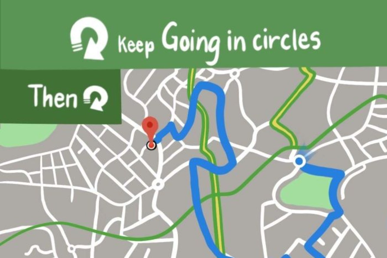
The map itself may be wrong – this is when it can encourage you to turn into streets that don’t exist or down roads that no longer go anywhere.
This happens because the map hasn’t been accurately created or adequately updated.
In that case, there’s not much you can do about it, except try a different mapping app.
The other error is that your position can be wrong, which means that the phone hasn’t got the right information from the satellites to work out where you are.
Australia is covered, but the cities can be tricky
At least four satellites are required to pinpoint your location, and this is easily achieved in most of Australia, Dr Tregoning said.
He estimates that in the middle of central Australia you’re probably covered by 10 to 12 GPS satellites.
But in the narrow streets of cities it’s a different story.
“The exception is in what we call urban canyons – streets in cities where you’ve got high buildings on both sides and you can’t see enough sky to see enough satellites.”
If your phone can’t find four satellites in the segment of sky it has available, it will fail to accurately pinpoint your exact location.
Again, there’s not much you can do about it.

You’re more likely to have trouble with mapping apps in the middle of a city than the bush. Photo: Pixabay
Download your map in advance
If you are travelling outside of large population areas, it’s possible you might lose your map if the mobile signal is poor and drops out.
Dr Tregoning says if you are using Google maps, one trick is to download your map before you travel and then switch off your mobile data and navigate just using the satellite location data.
“Most people don’t know that,” Dr Tregoning said.
This can also save you battery and mobile data usage and is especially handy when you’re travelling overseas.
Apple Maps don’t have the same ability to download maps to use offline, but they do cache the route you’ve entered – so if mobile coverage drops out you should still be able to monitor your progress.
Do mapping apps negatively affect our brain?
Probably not.
It’s true humans are not tending to develop their innate capacity for navigation these days, but according to experts this has less to do with mapping apps and more to do with the modern environments we grow up in.
The way the brain works means we only develop the skills we need to.
“If we were growing up in a forest or in the bush then we have to develop very sophisticated skills to find our way around to find food, to find our way home,” says Oliver Baumann an experimental psychologist and cognitive neuroscientist at Bond University.
“But given we grow up in a world of rectangular streets, and street signs, and being driven around, we live in an environment that doesn’t put much demand on our navigational skills,” Dr Baumann said.
So what if something went drastically wrong and we couldn’t use our mapping apps?
Even when our mapping app is working, it can still lead us up the garden path with potentially fatal consequences.
So make sure you use your common sense – and don’t drive into the ocean or down dodgy roads just because your mapping app tells you to.